
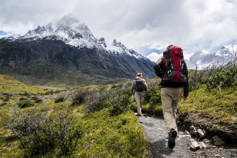
The Lycian Way segment from Ölüdeniz to Faralya covers 8 kilometres one-way through some of the most spectacular coastal mountain terrain in Muğla, Turkey. Beginning at the Ölüdeniz Beach parking area — a 20-minute dolmuş ride from Fethiye (approximately ₺30) — the trail climbs 680 metres over mixed terrain before delivering hikers to the clifftop village of Faralya, overlooking Butterfly Valley. No permit is required to walk this section. Parking is available at the Ölüdeniz beach complex for those arriving by car. The route is marked with red-and-white paint blazes characteristic of the Lycian Way long-distance trail. The first kilometre from the beach ascends steeply through pine woodland on a rocky dirt track. The path transitions to exposed limestone ridgeline as elevation increases, with sections of loose scree and short scrambling moves on the upper traverse. Shade becomes sparse above 600 metres, making sun protection critical. The ridge crest at approximately 1,100 metres offers extraordinary views of the Blue Lagoon below and the Aegean coastline stretching toward Rhodes. A distinct overlook point directly above Ölüdeniz, approximately 2 kilometres from the start, provides the first major scenic reward. The final descent into Faralya is steep and narrow, with a clifftop path above a sheer drop into Butterfly Valley — a canyon accessible only by boat from sea level. Faralya village hosts several family guesthouses and a well-regarded treehouse restaurant at the valley rim, making it a natural rest point or overnight base. There are no water sources along the trail; hikers must carry at least 2–3 litres from the start. The return to Fethiye or Ölüdeniz requires a taxi from Faralya (approximately ₺200) or continuation south along the Lycian Way toward Kabak.
| Distance | 8 km one-way |
|---|---|
| Duration | 4–5 hours one-way |
| Difficulty | hard |
| Trailhead | Dolmuş from Fethiye to Ölüdeniz (₺30/$0.90); taxi back from Faralya (~₺200/$6) |
| Best season | April–June, September–October |
| Address | Trailhead: Ölüdeniz Beach parking area, 48300 Fethiye, Muğla |
Trail facts
- Trail area
- Fethiye
What to bring
- Sturdy trail shoes or light hiking boots
- 2–3L water
- Sun hat
- Sunscreen
- Snacks
- Paper map or KomootGPS app
Location
Trailhead: Ölüdeniz Beach parking area, 48300 Fethiye, Muğla
36.5509, 29.1152 View on map
Highlights
- Panoramic overlook directly above Ölüdeniz Blue Lagoon, approximately 2 km from the trailhead
- Clifftop traverse with vertiginous views down into Butterfly Valley canyon
- Ridge crest at 1,100 m offering sweeping Aegean and Rhodian coastline vistas
- Village of Faralya with treehouse dining at the rim of a 300-metre-deep canyon
Tips for visiting
- Start before 08:00 to avoid midday heat on the exposed upper ridge; temperatures can exceed 35°C in July and August.
- Carry a minimum of 2.5 litres of water — there are no springs or shops between the trailhead and Faralya.
- Trekking poles significantly reduce knee strain on the steep descent into Faralya.
- Book a taxi from Faralya back to Fethiye in advance during peak season (May, June, September); local drivers are limited.
- Wear proper trail shoes or light hiking boots — sections of loose scree and limestone slab are unsafe in sandals.
When to visit
The spring window of late April through early June offers the most comfortable conditions, with wildflowers in bloom and temperatures below 28°C at sea level. The autumn window of September through October provides similar temperatures after summer heat subsides and before winter rain makes the limestone slabs slippery.
Accessibility
The Ölüdeniz to Faralya trail involves steep sustained climbing, loose scree, and narrow clifftop paths with no guardrails. It is not accessible to wheelchair users or strollers, and is unsuitable for anyone with significant mobility impairments.
Frequently asked questions
Is the Ölüdeniz to Faralya trail a loop or one-way?
The trail is one-way, running 8 km from Ölüdeniz to Faralya. Most hikers arrange a taxi or dolmuş return from Faralya. Alternatively, hikers can continue south along the Lycian Way toward Kabak, arranging transport from there.
Can children hike this route?
The trail is not suitable for young children due to sustained steep climbing, loose scree, and unguarded clifftop sections on the final approach to Faralya. Confident teenage hikers with good footwear can manage it with adult supervision.
Are there refreshments along the trail?
There are no shops, cafes, or water sources on the trail between Ölüdeniz and Faralya. Faralya village has several guesthouses and a small restaurant open from spring through autumn.
When is the trail too hot to hike?
July and August midday temperatures regularly exceed 35°C on the exposed ridge. During these months, hikers should start no later than 07:00 and consider skipping the summit ridge sections during midday hours.
Does the Lycian Way route here require a guide?
The trail is well-marked with red-and-white Lycian Way blazes and does not require a guide. A printed or downloaded map (KomootGPS or AllTrails) is recommended for the upper sections where blazes can be spaced further apart.